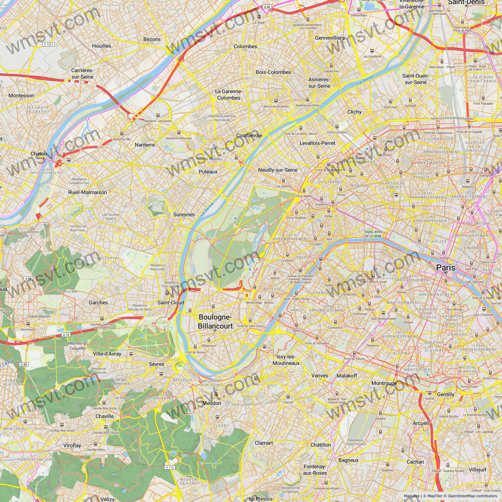
Web Mapping Service - Vector Tiles
Click below for demo:

Ever needed to print a high-quality, high-DPI map or needed a rasterized map of an area around the globe for other purposes?
We specialise in maps for print or other high-DPI, for example analytical purposes. Maybe you have a simple client application, that does not have the full capability of running a hardware accelerated fat client, a so-called thin-client that can only display an image. WMS-VT can take any MapLibre-compatible style URL and display a custom map, given an extent, DPI and pixel dimensions of any place in the world.
Currently only the Web Mercator (EPSG:3857) and the special globe projections are supported. But the service has the minimum WMS parameters: WIDTH, HEIGHT and BBOX, as well as KEY (API Key), STYLEURL and DPI.
Performance
Rendering 1MP (1,000 by 1,000 pixels) takes approximately 2.33s.
Rendering 4MP (2,000 by 2,000 pixels) takes approximately 4.26s. So, less than twice as much even though it is 4 times the amount of pixels.
Currently the service supports up to 16,384 by 16,384 pixels, so 268,435,456 pixels or 268MP. In my test, it rendered this in 1.6 minutes.
Pricing
Please get in touch.